Wet snow possible in the Lower Mainland; snowfall warning for Sea to Sky Country
Posted January 8, 2019 5:20 am.
Last Updated January 8, 2019 3:42 pm.
This article is more than 5 years old.
UPDATE: Special weather statements have ended for Metro Vancouver and the Fraser Valley.
LOWER MAINLAND (NEWS 1130) – We could be in for a blast of winter.
Environment Canada has issued a special weather statement for Metro Vancouver and the Fraser Valley. Forecasters say we could see sleet or wet snow on Tuesday.
“I have to admit, I still expect it will primarily be a rain event across about three quarters of the Lower Mainland,” NEWS 1130 meteorologist Russ Lacate said.
“But we have a low freezing level. Because of that and some cooler conditions around the district, it’s just as likely we’ll see mixed rain and snow beginning later this morning, continuing into the afternoon, but not necessarily accumulating except those areas tucked right up against the mountains and over higher ground.”
According to Environment Canada, up to 4 cm of snow could fall near Hope.
Russ expects a high of four degrees on Tuesday.
“We’re trending wetter over the long range. It’s going to be widespread rain only for tonight … Throughout the day tomorrow, more rain than anything else in your Wednesday forecast and the high reaching eight degrees.”
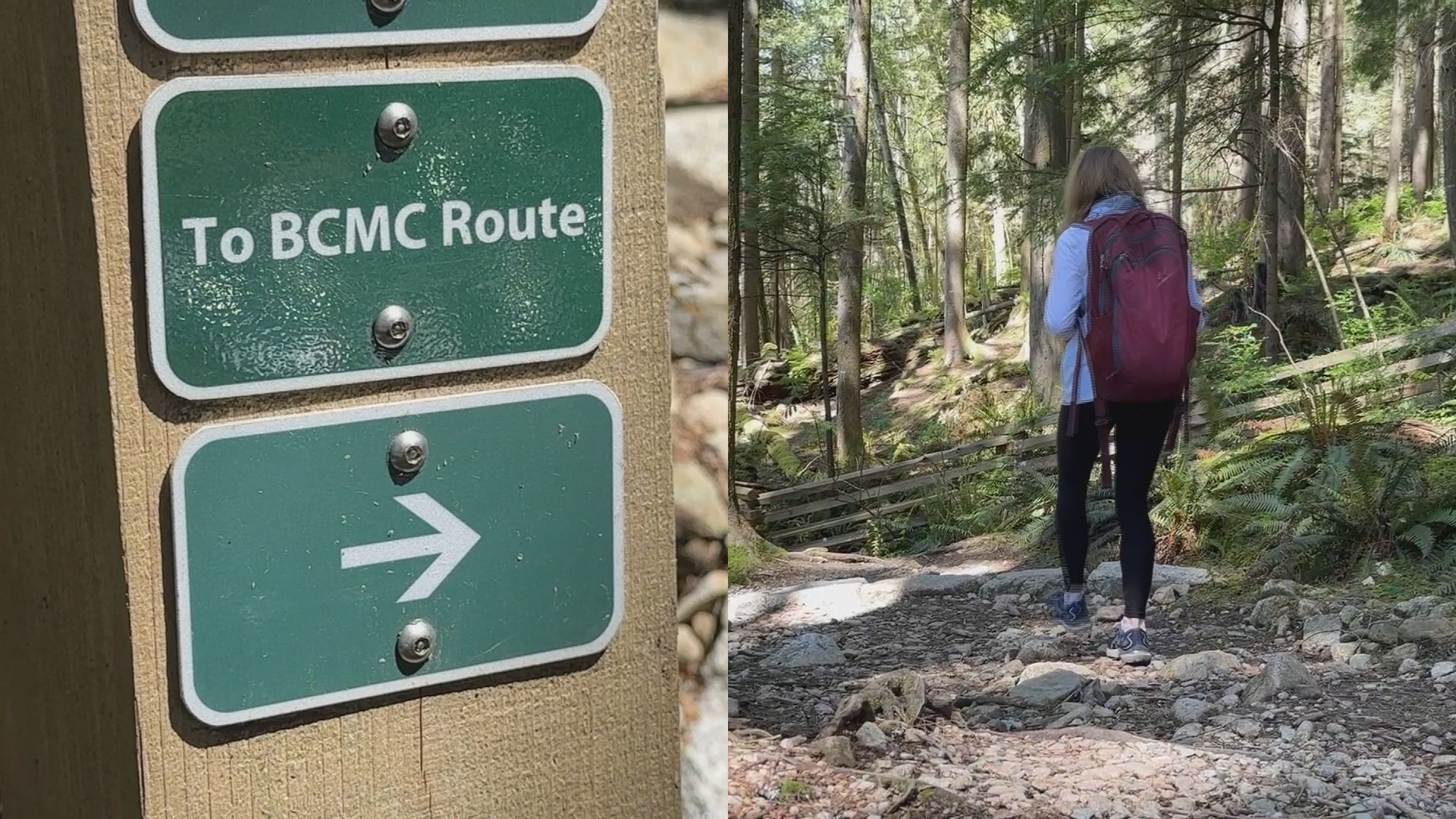
Snow expected in Sea to Sky Country
Meanwhile, a snowfall warning is in effect for Sea to Sky Country. The area between Squamish and Whistler could see up to 20 cm of snow, starting Tuesday afternoon.
A strong wind may blow that snow around, making for reduced visibility on the road. Drivers are being warned to be careful on the road, as conditions could change quickly.
The snow in that area is expected to change to rain by Wednesday.
A snowfall warning has also been issued for the Howe Sound region.
Listen live for traffic updates every 10 minutes on the ones. You can also follow us on Twitter @NEWS1130Traffic or subscribe to breaking news alerts sent directly to your inbox.