‘Still worried:’ Avalanche forecasters on North Shore’s unusual and weak snowpack
Posted February 28, 2019 8:03 am.
This article is more than 5 years old.
NORTH VANCOUVER (NEWS 1130) – One thing skiers and snowboarders agree on is that cold snow is a good thing but in the backcountry of the North Shore right now, the opposite is proving to be true.
Avalanche Canada forecaster James Floyer says a month of cold weather has created a number of problems in the snowpack and anyone venturing into the backcountry should avoid steep terrain and navigate carefully.
“It’s actually quite unusual. I have been in this business for 15 years and I can remember one other time around about 2006 where we had a similar snowpack situation,” says Floyer.
“Moving around in the North Shore mountains definitely requires sticking to more mellow areas which actually can be hard in some places because there’s a lot of steep slopes.”
The warnings come just a week after the body of a 39-year-old Surrey man was recovered from an avalanche on Runner Peak just north of Mt. Seymour.
The science of snow
A lot of factors came together to create the unusual and dangerous conditions we’re seeing.
First, we saw a series of storms hit the south coast; much of it came cold and fast. In the snow and wind, the new snowflakes took the shape of sugary crystals, called facets.
Facets are rounder than your stereotypical snowflakes, the star-like flakes known as stellar dendrites and they don’t bond well to other snow layers.
That’s left some deep instabilities lingering longer than would normally be expected at this time of year.
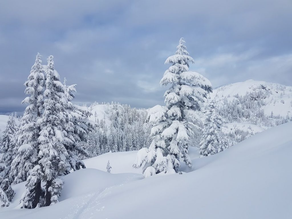
Mt. Seymour has incredibly complex terrain and it can be difficult to travel the backcountry safely in these conditions as steep slopes exist in every direction. (Ash Kelly/NEWS 1130 Reporter)
According to the South Coast avalanche forecast details, there’s a mix of weak layers created by sun, faceted snow and a type of snow crystal known as a surface hoar as deep as 100 cm down.
Surface hoar often form in the cold as chilly air sucks the moisture out of the snow, forming feathery crystals on the surface layer as that moisture freezes. Surface hoar forms a weak layer when new snow falls on it.
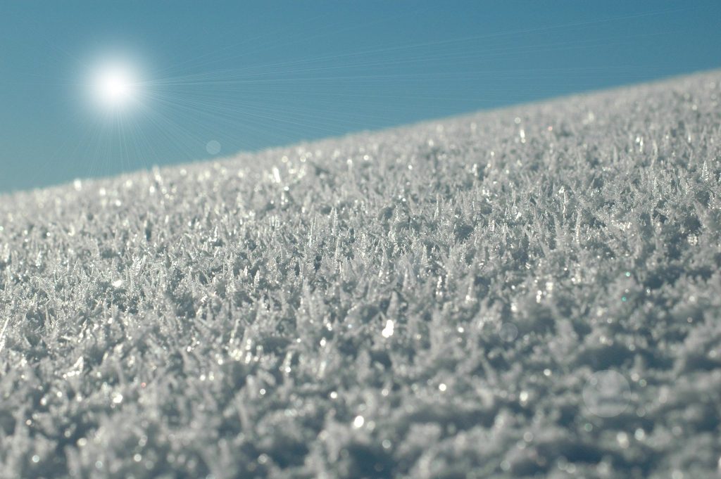
(Avalanche Canada)
As more new snow fell on top of these weak layers and the cold snap has continued, that snow turned that into a thick slab that could slide on any of the weak layers described by forecasters.
“We’ve noticed these slab avalanches are persisting longer than usual. Usually in the South Coast region we get a storm, we get some avalanche activity and then a day or two after the storm you can almost go anywhere within reason,” says Floyer.
This month, the snow just hasn’t settled or bonded the way it usually would in warmer years.
“Steep terrain is still quite unstable even after what’s now a couple of weeks, really,” warns Floyer.
Where to go this weekend?
Choosing to stick to mellow terrain in the local hills is a good idea but if you venture north to the Sea to Sky region or even east to the Coquihalla, be wary there too, says Floyer.
In these areas strong winds have stiffened the upper layers creating what is known as a wind slab.
“We’re still worried. The danger tends to be associated with the higher mountains, the ridge lines, the steep slopes,” he says of the avalanche forecast regions surrounding the North Shore.